 Tools, applications and tutorials produced with poor internet connection and Stack Overflow copy-pastes.


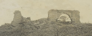
Mapping Fachoda
Mapping of the ancient citadel of Fachoda in South Sudan by georeferencing old plans and pictures.
Go to map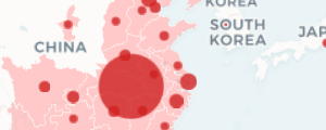
Covid-19 dashboard
Mapping of the beginning of the outbreak (until mid-Feb) using Node.js to scrap data from several websites.
Go to app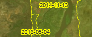
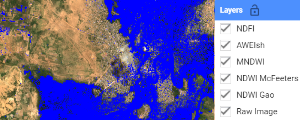
Mapping floods with Google Earth Engine
Script to extract different water indexes from Sentinel-2 images for flood mapping.
Go to script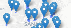
Wikimapia Data Export
Export the data from Wikimapia using a simplified interface to use its API.
Go to app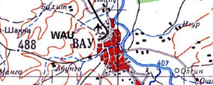
South Sudan soviet maps
Georeferenced and tiled 1:500,000 topographic soviet maps of South Sudan.
Go to map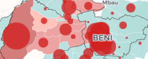
Democratic Republic of Congo - Ebola 2018-2020 dashboard
Mapping of the DRC 2018-2020 Ebola Outbreak. Data from WHO / MoH.
Go to app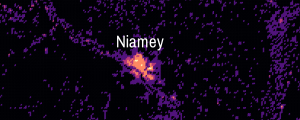
Facebook Population Data in QGIS
How to use Facebook population datasets in QGIS to create population density maps.
Go to tuto